The climate of southern Gran Canaria is not just an atmospheric factor; it is the invisible architect that transformed a wasteland of dunes, shepherds, and tomato fields into one of Europe’s most powerful tourist destinations. Understanding the history of Maspalomas means understanding how its weather conditions, recorded in scientific reports and in the memories of its inhabitants, shaped the landscape. From the records of the first explorers to the satellite precision of 2026, the climate of San Bartolomé de Tirajana has maintained one constant: an almost miraculous stability broken only by the sporadic fury of the Atlantic.
Before the arrival of mass tourism, Maspalomas was a climatic frontier. Data from the first half of the 20th century, compiled piecemeal by farmers and the first official observers, describe a territory marked by extreme water scarcity. The south of the island survived under a relentless sun that guaranteed more than 3,000 hours of sunlight a year, a resource that back then didn’t translate into hammocks and hotels, but rather into a constant battle against drought.
The weather of this era was dictated by agricultural cycles. The northeast trade winds, although they blew with the same consistency as today, were seen as a factor that dried out export crops. The few annual rains were concentrated in subtle winter storms. However, when the weather in the south changed abruptly, it did so with historic violence: the ravines, usually dry and stony, experienced flash floods that completely transformed the landscape of La Charca.
The Opening of the Airport and the METAR Era (1970-2000)
The inauguration and consolidation of the Gran Canaria Airport weather station (ICAO code: GCLP) marked a turning point in the accuracy of historical weather records. From the 1970s onward, the weather in Maspalomas began to be measured minute by minute through METAR reports, coded for international aviation but vital for the burgeoning tourism sector.
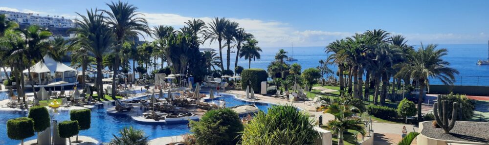
It was during these decades that Maspalomas’ climate became an internationally renowned attraction. Historical charts began to scientifically demonstrate what travelers already knew: the south of the island enjoyed virtually no winter, with temperatures rarely falling below 18°C in January, and summers where the thermometer stabilized in a comfortable range between 24°C and 28°C. The relative humidity, moderated by the ocean, became the perfect balm for visitors from Northern and Central Europe.
OLYMPUS DIGITAL CAMERA
However, historical records also document the major challenges posed by extreme weather. Episodes of super haze—Saharan air masses that raised temperatures above 40°C in a matter of hours—tested urban infrastructure. Likewise, the passage of weakened tropical storms and intense Atlantic cyclones periodically served as a reminder of the fragility of a coastline undergoing rapid construction.
The 21st Century and the Challenge of Climate Change (2000-2026)
With the arrival of the new millennium and the integration of advanced climate reconstruction models such as MERRA-2, scientists began to detect subtle but significant changes in Maspalomas’ weather patterns. The average summer temperature showed an upward trend, and tropical nights—those where the temperature does not drop below 20°C—went from being a summer anomaly to a recurring phenomenon between June and September.
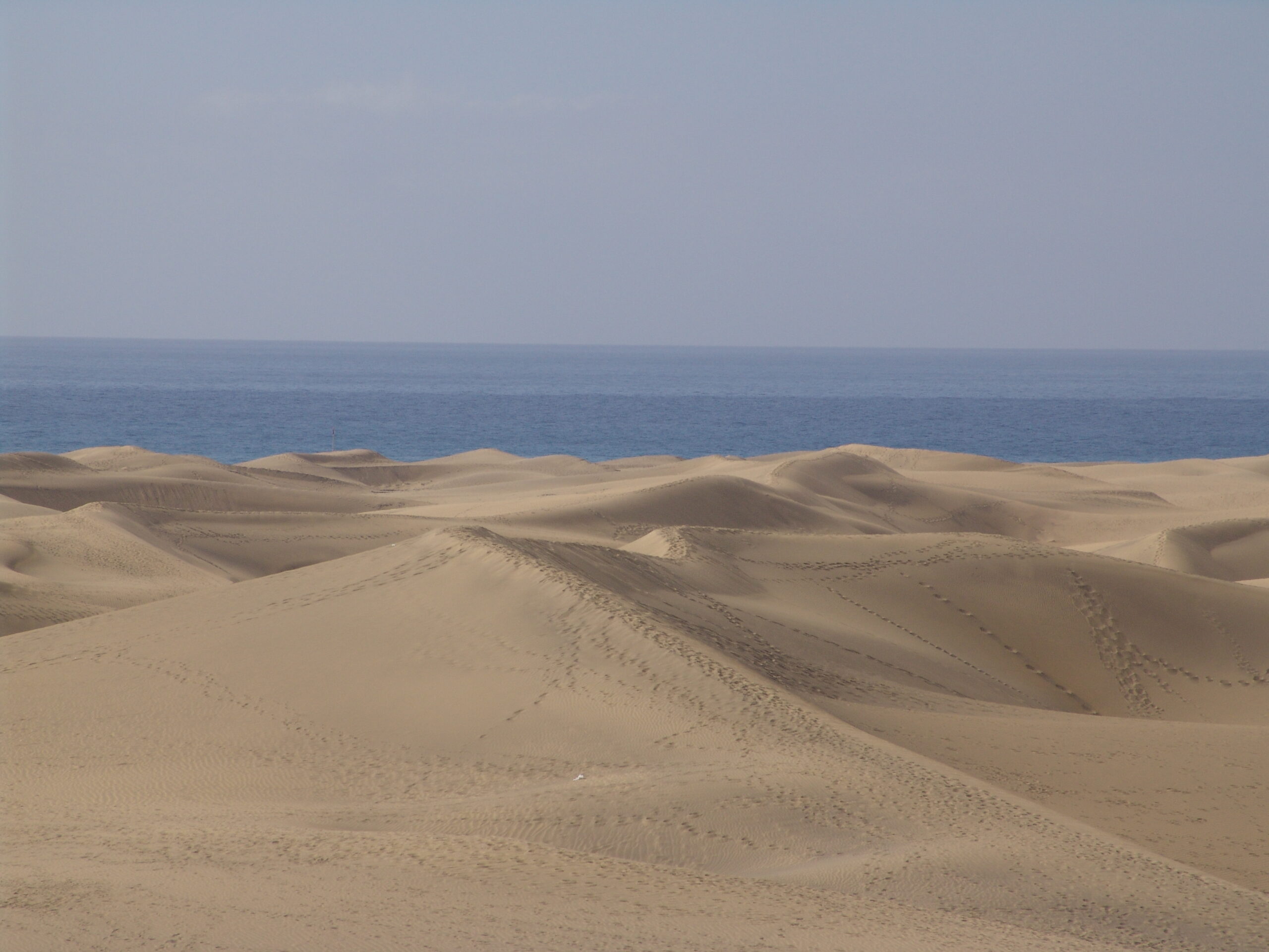
The wind, the area’s driving force, has also been a focus of analysts’ attention in recent years. Although the trade winds continue to blow strongly, reaching speeds of over 40 km/h on summer afternoons—alterations in their frequency have compelled authorities to actively intervene in the natural environment. The relocation of kiosks and infrastructure in Playa del Inglés in 2026 is the direct result of decades of meteorological observation, aimed at restoring the wind’s natural path so it can continue to move the sand and preserve the dunes.
Today, the weather in Maspalomas combines the same zenithal light and clear skies that captivated the pioneers of tourism with scientific climate management. This historical record demonstrates that the greatest asset of this coastline remains its atmosphere: a microclimate protected by the island’s geography that, despite global pressures, refuses to lose its eternal spring.